1 / 3
2 / 3
3 / 3
×
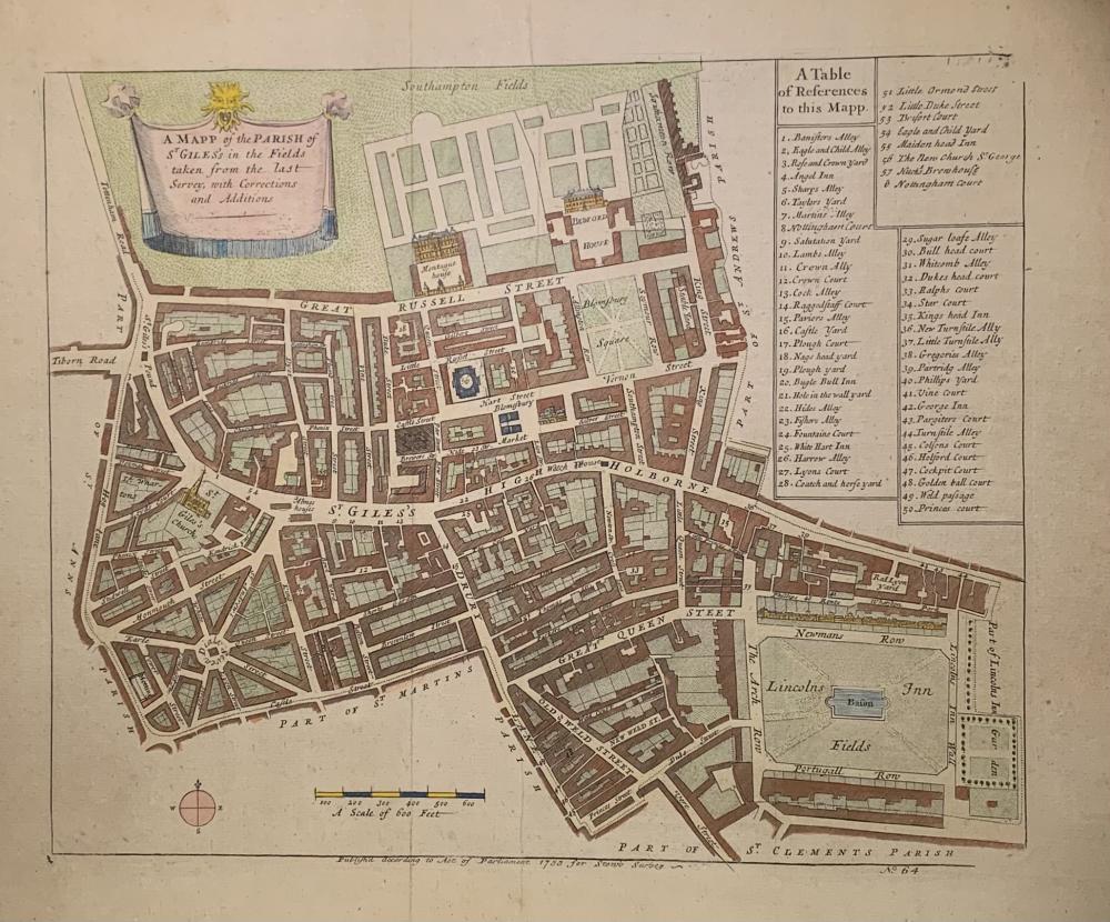
1755 LONDON STREET PLAN: 'Map of the Parish of St Gile's and High Holborn'
CGS0043

Click image to enlarge

A Mapp [sic] of St Giles's in the Fields taken from the last survey with Corrections and Additions.

DESCRIPTION: London, 'Published...1755 for Stow's Survey.' Engraved map, with later but old hand colouring,

This is the second edition; this famous and historically important map of the are of London now known as Bloomsbury was first issued with the 1720 folio edition of Stow's Survey of London, and appeared here in revised and amended form for the subsequent edition of 1755. As such it forms an important record of the mid Georgian development of a very fashionable are of London to the south of Bedford House and Great Russell Street, having been extensively developed, though still unbuilt fields to the north. The plan extends south as far as the end of Drury Lane, with Duke Street leading into Lincolns Inn Fields. It extends to Tyburn in the west, following through the main thoroughfare of St Giles and High Holborn as far as Lincolns Inn Garden in the east.

SIZE: Images size to plate mark 280 x 210 mm, mounted with 4cm border all round on card.

CONDITION: Laid on card, traces of creases, very slight fading of colour else in very good clean state.

£125.00


Have a Question?

You need to be Signed In to ask questions.